

Here’s our upscale motel in Tonopah. $64. New owners busy remodeling. Now for a view across the highway.
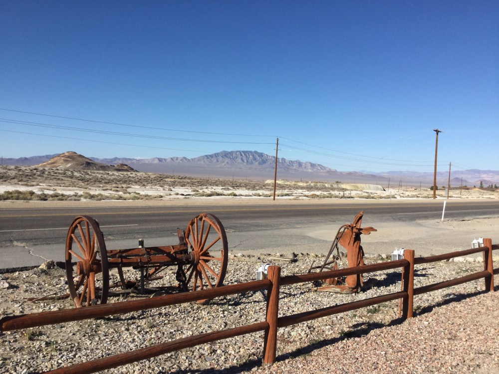
I took some downtown pictures but they seem to have disappeared except for these.


This was desolation day traveling from central Nevada to the southeast corner. Most of the trip stark, dry, lacking color, barren, mountainous long. We drove across the Toyabe National Forest. I saw 23 trees valiantly clinging to life. 13 of the trees were in what was called a rest area. Pit toilets on a gravel parking lot with small starved looking trees. We didn’t stop. Eventually Tofu demanded to stop. So we went for a walk here. We walked about 1/2 mile to the (Ha!) town of Rachel. No store nothing for sale, but what appeared to be a parking lot of worn out single wides. We saw one man walking among the ruins and decided to get back in the van.

We went 200 miles without so much as a gas station. We even saw FedEx small truck heading the opposite direction. Do you suppose Amazon Prime does 2 day deliveries to the few people who live out here? We went through 2 Indian Reservations. I can’t remember the tribal names. They were not familiar to me.
We came over a rise and nestled in a dip beside the road was a small pond. There was a rock in the pond and on the rock were 2 snowy white Egrets? They looked like blue herons only white. A raven flew from right to left. This is open range country with cattle standing beside the road.
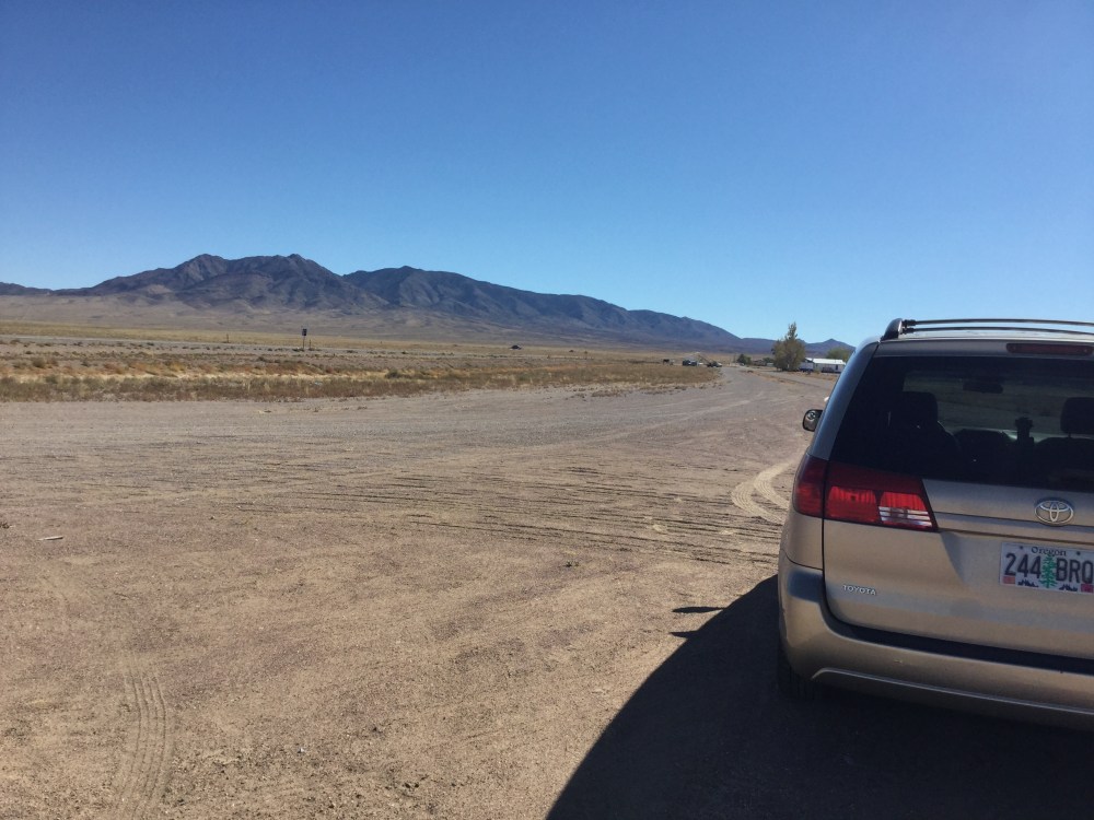
Tofu and I traveled the Extraterrestrial Highway today. We were looking for UFO’s. Actually I saw a mountain hovering in the air, but as the cat began a corner the mountain settled back to the earth. Maybe it was the Mothership! Why do you suppose the aliens want to come to this area. Could it be they need some peace and quiet?
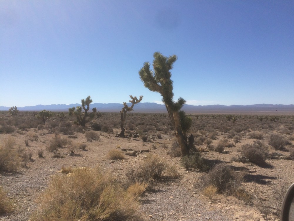
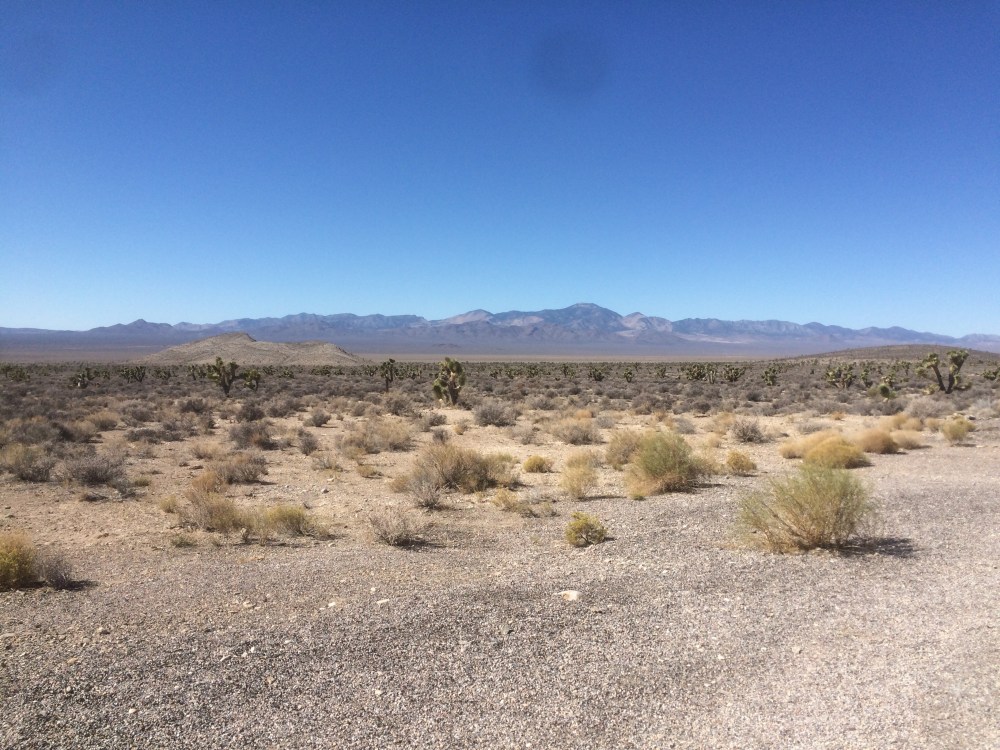
I was beginning to lose all hope for the color green, when what to my imagining eyes did appear? Joshua trees! A whole forest of them.
Somehow they don’t look nearly as exciting now as they did then.
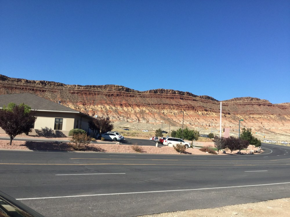
At last we came to I-15, that crosses southern Nevada. The speed limit is 75 mph and most were doing 80. After a few minutes the scenery became stunning, eventually stupendous! Wow beautiful huge rock formations. Couldn’t stop to take a picture. I was driving like my life depended on it. We crossed into Arizona. We traveled through the big city of St. George. We turned east on highway 9 so I found a place just out of Hurricane and took this picture.
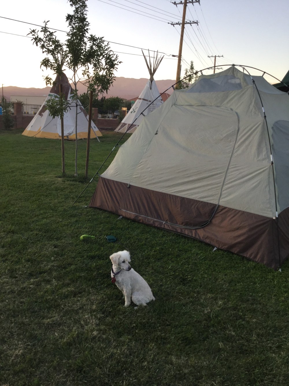
We hopped back in the car and drove into (a) Hurricane. Huge population growth on the highway. But Tofu and I found a green place to put our tent.
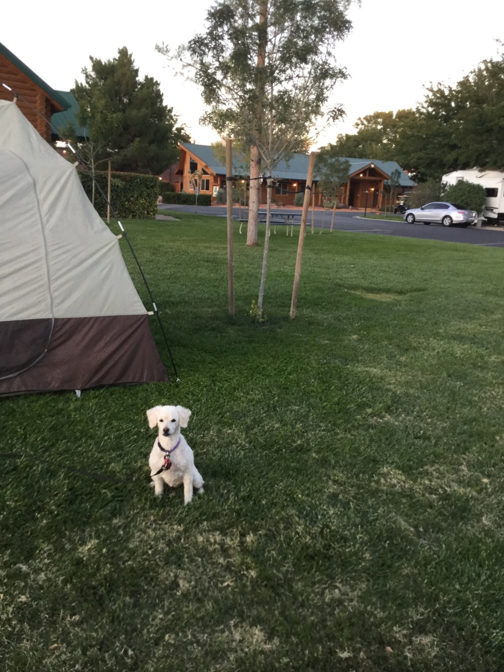
The night is cool and lovely. I ‘be been sitting on a porch typing, but Tofu is getting impatient with me. I just remembered I’m mad at her for eating a half package of beef jerky while I went into a store. Uh Oh. Hope all goes well with you tonight. Tofu and I are in the eye of (a) Hurricane.
Love.

Hurricane, UT oddly enough is pronounced ”hurkin” by locals. The town is adjacent and barely distinguishable from the next small town, so close you can’t really call them discreet, Laverkin, UT.
I had the pleasure of spending a week in this fine part of North America back in the early spring of 1996. As I recall Dad you flew out and met me on my way back to SLC!
LikeLike
Hurkin no longer a small town. I know where I’ve heard of Laverkin
LikeLike